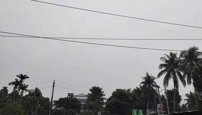
The deep depression in the Bay of Bengal has intensified into a cyclone. It is likely to hit the Bangladesh coast anytime between Monday midnight and Tuesday evening.
The Meteorological Department has forecast that coastal districts may be flooded by high tides due to the impact of Cyclone Sitrang. As a result, local warning signal number 3 has been lowered to local warning signal number 4 in Chittagong, Mongla and Payra seaports and Cox's Bazar.
According to the weather forecast, it was located 770 km southwest of Chittagong Seaport, 710 km southwest of Cox's Bazar Seaport, 700 km south-southwest of Mongla Seaport and 675 km south-southwest of Payra Seaport at 6 pm today. It may further intensify and move northwards.
The maximum sustained wind speed is 62 km/h within 54 km of the cyclone center. This is increasing to 88 km/h in gusts or squalls. The sea is rough in the area near the cyclone center.
Due to the influence of the cyclone's leading edge, Amavasya Tithi and the high air pressure difference, the coastal districts of Satkhira, Khulna, Bagerhat, Jhalokati, Pirojpur, Barguna, Patuakhali, Bhola, Barisal, Laxmipur, Chandpur, Noakhali, Feni, Chittagong and Cox's Bazar and their nearby islands and chars may be flooded by a tidal surge of 5-7 feet higher than the normal tide.
The low pressure area located in the east-central Bay of Bengal moved northwestwards and turned into a deep depression on Sunday morning. Due to the influence of the low pressure, intermittent rains have been falling in various parts of the country including Dhaka today.
Meteorologist Abdur Rahman of the Meteorological Department said, "So far, it seems that this is a moderate cyclone. However, there will be a new moon when it hits. Therefore, even if the wind speed decreases, damage may occur in coastal areas due to tidal surges."
Mustafa Kamal Palash, a meteorology and climate researcher at the University of Saskatchewan in Canada, told Samakal on Sunday afternoon that it is not a super cyclone. Sitrang is a 'Very Severe Cyclonic Storm', meaning a very strong cyclone. Its speed can be 110 to 130 kilometers per hour. There are seven categories of cyclones. Sitrang is number three in terms of strength. Due to the new moon on Monday night, there is a strong possibility of a tidal wave 10 to 12 feet higher than normal in coastal areas and char areas. The intensity of this tidal wave will be much higher. He said that the center of the cyclone has a strong possibility of entering the land over the entire Barisal division and Noakhali, Feni and Chittagong districts of Chittagong division. The storm will also affect the coast of Khulna division.


